IMD: Deficit Decreased From 30% To 5% In Just 12 Days
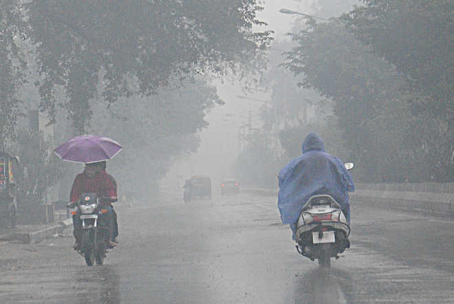
The monsoon has experienced a rapid comeback after a delayed and slow start in an El Nino year, with the nationwide rainfall deficit falling from a high of 30% just 12 days earlier to 5% by Thursday.
Importantly, the majority of the country has experienced rain during the previous 12 days, including the central and southern regions where the country’s monsoon deficit was alarmingly high. In addition, according to representatives from the India Meteorological Department, the wet spell is anticipated to last for the next few weeks or so, dispelling concerns that the monsoon may enter a break during the first week of July.
However, there is still plenty that the monsoon must make up for. Since the beginning of the monsoon season on June 1, 16 out of the country’s 36 meteorological subdivisions had received rainfall that was inadequate or 20% or more below normal.
Also Read: In Response To G20 Meeting, 15,000 Foreign Visitors Came To Kashmir In Just Six Months
Weather Forecast
These include the states of Karnataka, Telangana, Chhattisgarh, Odisha, Jharkhand, Bihar, and Maharashtra (apart from the coastal region).
However, over the previous two weeks, deficits have decreased in every subdivision, and many are expected to get additional precipitation in the days to come. According to the data currently available, July’s rainfall will probably fall at the higher end of the typical range (94% to 106%). The next two weeks should see active monsoon conditions, according to IMD director Mrutyunjay Mohapatra. According to Mohapatra, around July 8 the Indo-Gangetic plains are likely to experience an increase in rainfall activity that is now concentrated over central India.
“From current indications, rainfall in July is likely to be at the higher end of the normal range (94% to 106%). We expect active monsoon conditions to continue for the next two weeks,” said IMD chief Mrutyunjay Mohapatra.
Mohapatra said the main rainfall activity was currently over central India, which was likely to shift to the Indo-Gangetic plains around July 8. “Around July 12, the monsoon trough is expected to move southward again, bringing another spell of wet weather to central India. Thereafter, a low-pressure system may form around July 16. If that happens, central India may get another spell of rainfall,” he added.
Since July is when the majority of the Kharif crop is sown, a strong monsoon performance is essential for agriculture. Due to the possibility of El Nino conditions having an impact on the second half of the monsoon season (August–September), July rainfall has taken on even more significance this year. “Generally, El Nino conditions lead to poor monsoon rains in the latter half of the season. However, it remains to be seen whether that is going to be the case this year since El Nino conditions in the Pacific are yet to affect the atmosphere. An El Nino starts to impact weather around the world only after changes in wind currents occur in response to the warming of the ocean,” Mohapatra said.